
Precision and Professionalism in Every Step of Claim Staking
At Global Geologica, we offer professional claim staking services in the US designed to provide you with efficient way to establish ownership of land or mineral rights. Our skilled team guarantees accuracy at every stage, from claim design to county and federal filings, providing comprehensive support for your exploration and mining projects. With our in-depth knowledge of regulatory requirements and technical expertise, we help you confidently secure and manage your claims, setting a strong foundation for your mining and exploration projects.
What We Offer
We offer professional claim staking services to secure your mineral rights with accuracy and efficiency. Our team ensures all legal, regulatory, and geographic requirements are met, reducing risk and delays in your exploration process. From initial planning to on-ground execution, we provide end-to-end support tailored to your project’s location and goals.
-
We provide detailed and accurate claim map designs tailored to your specific project needs. Our team ensures that all necessary boundaries and data are clearly marked to facilitate the claim staking process and comply with regulatory requirements.
-
Our expert team ensure that you establish legal ownership of land or mineral rights. From site identification to final documentation, we manage the entire process with the utmost accuracy, helping you secure exclusive rights for exploration and mining activities
-
We generate comprehensive Certificates of Location (COLs) for your mining claims, ensuring that your claims are formally recognized by local and federal authorities. This essential document serves as proof of your claim's status and is crucial for moving forward with exploration and development.

A Generated Map showing the Geology and Project Claims

A Claim map filed with the county and submitted to the Federal Goverment

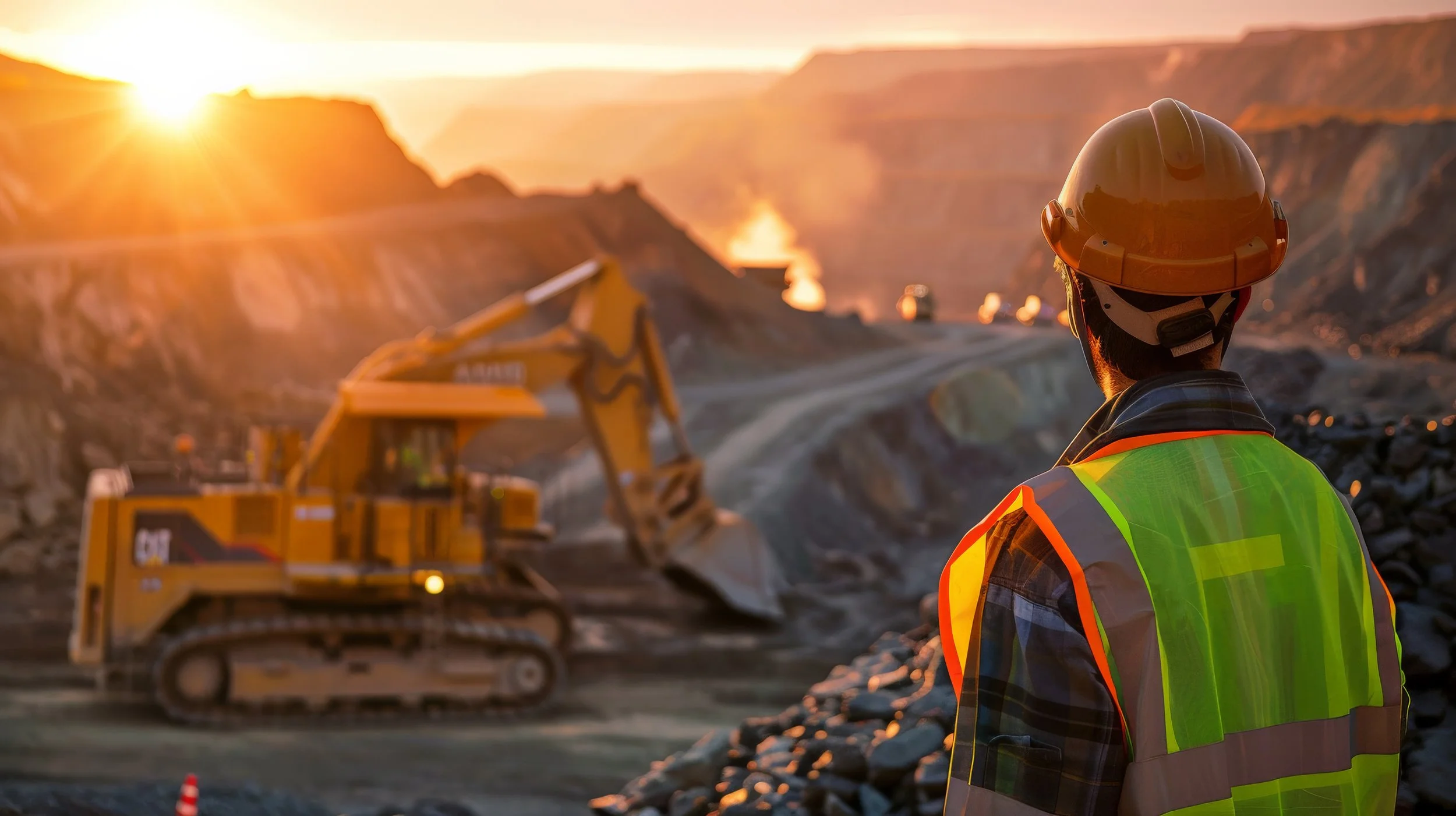
Field Crew Staking in the US

A location monument of a claim in the US

A notice of location
Ensure your land claims are backed by knowledge and proven tools —